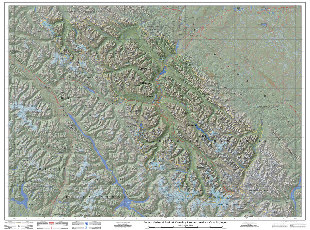
Title: Jasper National Park
Scale: 1:185 000
Size: 102 x 137 cm (40" x 54")
Date: 2007; 2nd ed. published 2015
Language: English/French
Scale: 1:185 000
Size: 102 x 137 cm (40" x 54")
Date: 2007; 2nd ed. published 2015
Language: English/French
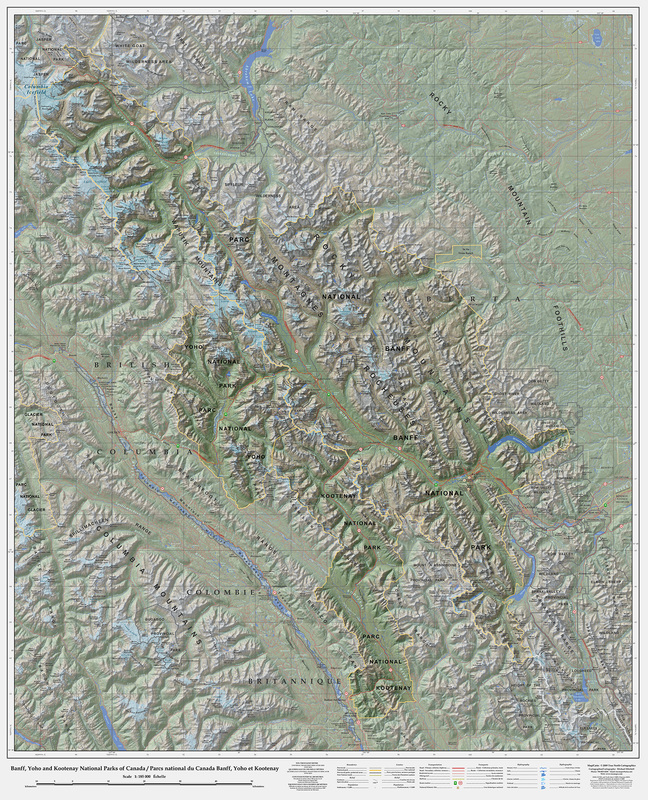
Title: Banff, Yoho, Kootenay National Parks
Scale: 1:185 000
Size: 98 x 121 cm (37.5" x 47.5")
Date: 2009; 2nd ed. published 2016
Language: English/French
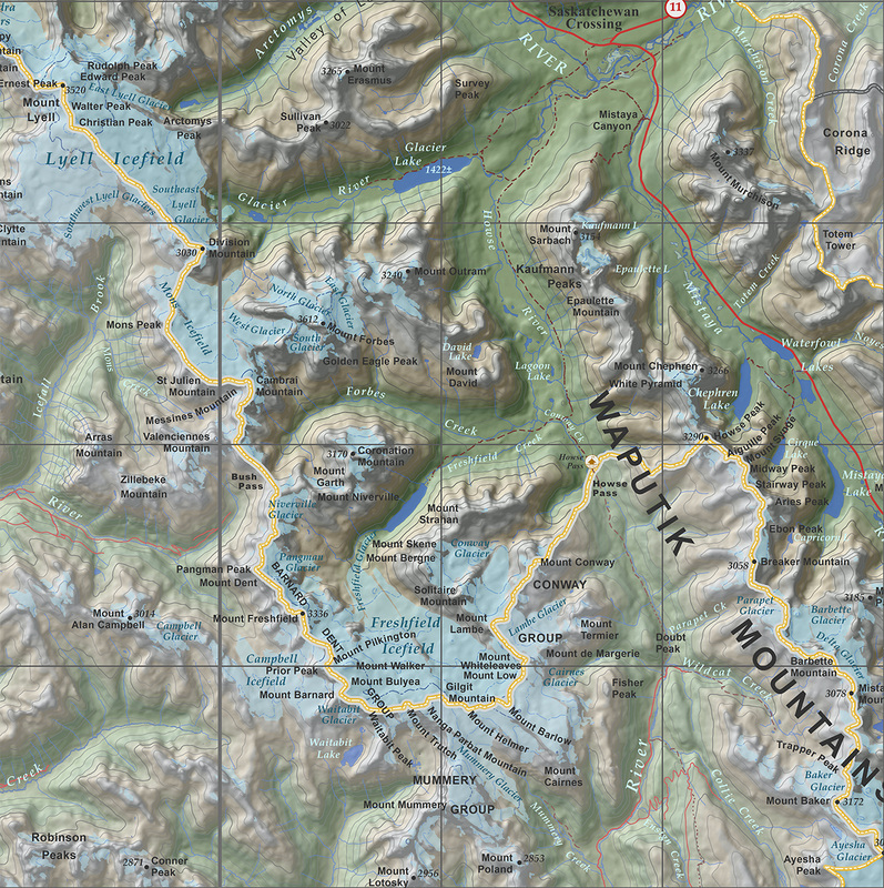
Detail:
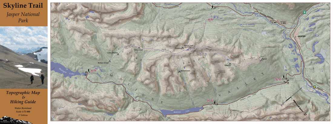
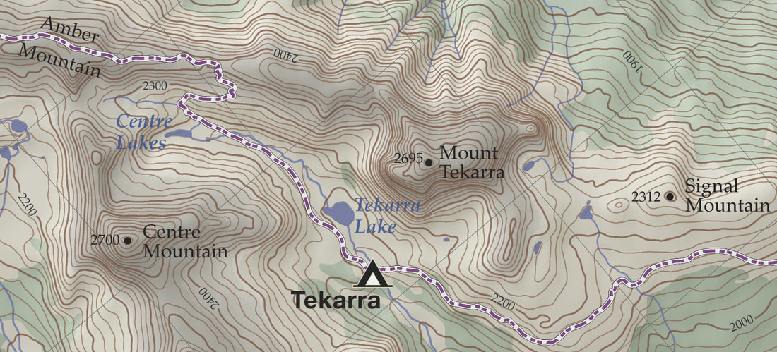
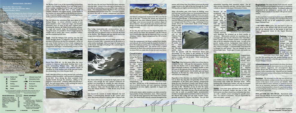
Title: Skyline Trail Topographic Map & Hiking Guide
Scale: 1:75 000
Size: 102 x 267 mm (4" x 10.5") folded; 102 x 711 mm (10.5" x 28") flat
Date: 2014
Scale: 1:75 000
Size: 102 x 267 mm (4" x 10.5") folded; 102 x 711 mm (10.5" x 28") flat
Date: 2014
Detail:
Verso:
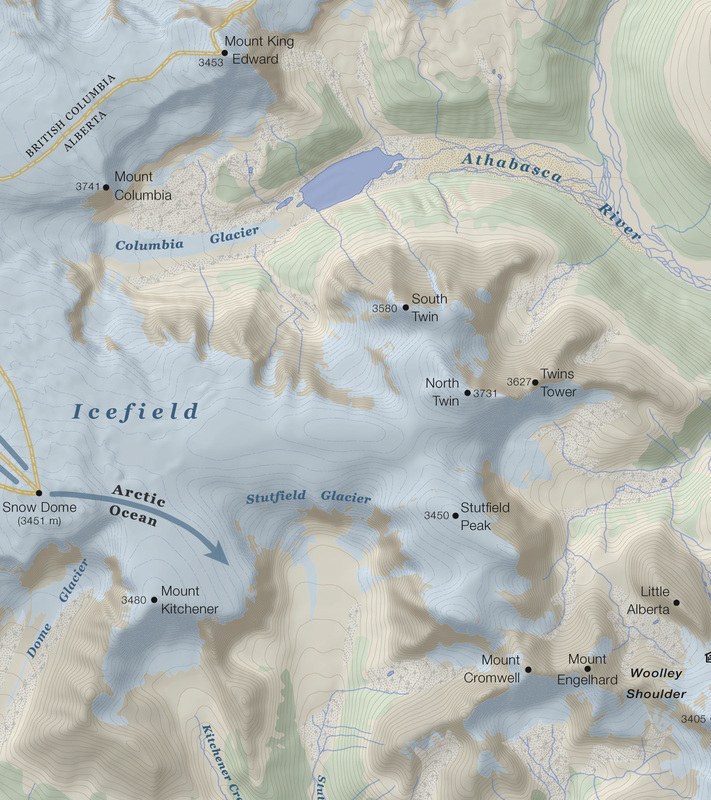
The Columbia Icefield - 1:50,000 (2011)
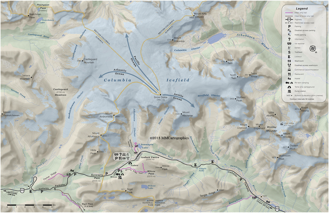
Detail:
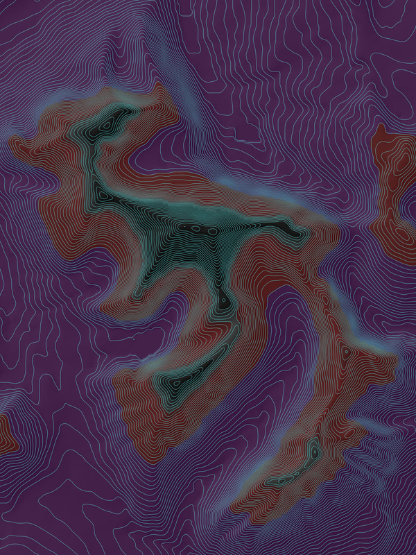
Mount Edith Cavell In Purple-Crimson-Black ( a work in progress)
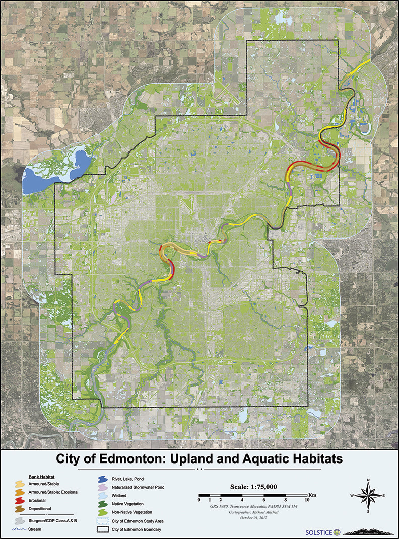
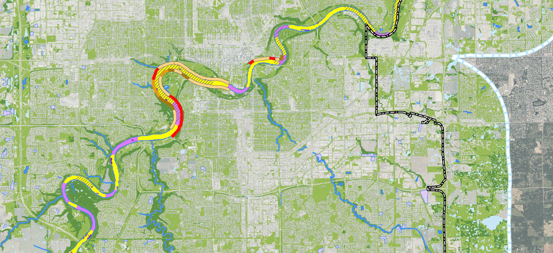
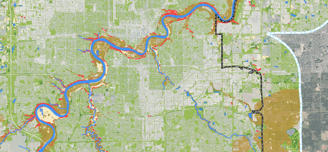
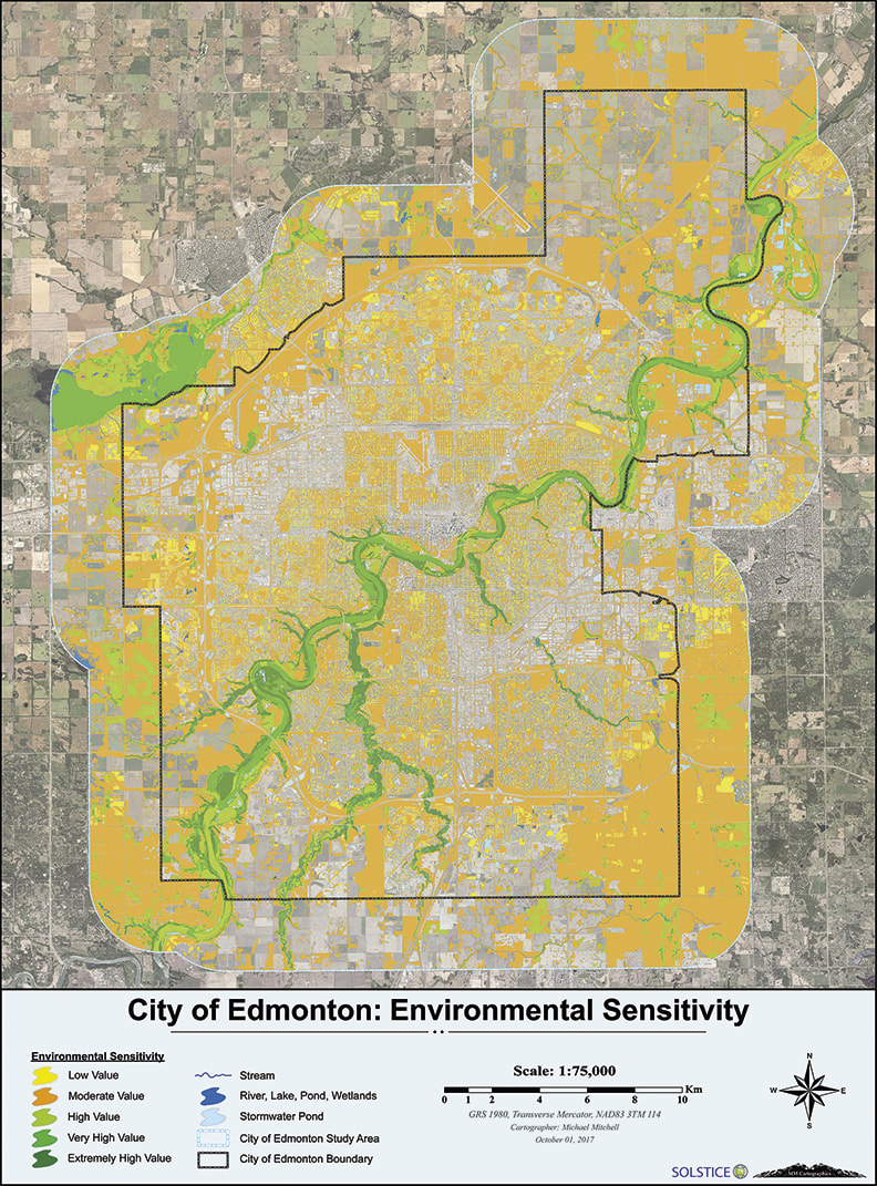
The following three maps are from a 2016 series of nine maps I designed for the report entitled,
"City of Edmonton Environmental Sensitivities Project".
"City of Edmonton Environmental Sensitivities Project".
Map: Upland and Aquatic Habitats
Detail:
Map: Unique Vegetation Communities, Landforms and Microclimates

Detail:
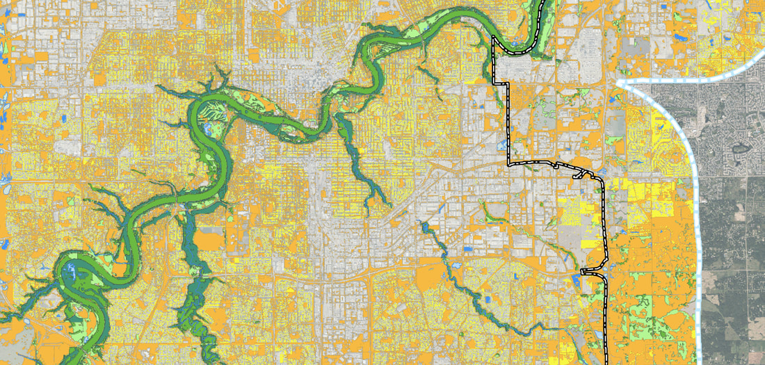
Map: Environmental Sensitivity
Detail:
Urbanscapes Series: Brooklyn-1

Urbanscapes Series: Brooklyn-2

Urbanscapes Series: Brooklyn-3

Urbanscapes Series: Brooklyn-4

JNP South... as waves upon the ocean blue (cyanotype)

JNP South... as waves upon the ocean dark
